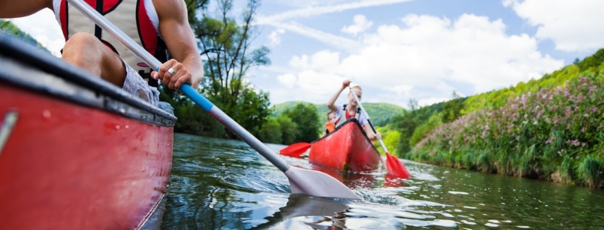
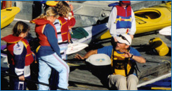
Best Arkansas Kayaking & Canoeing
If you have never been to Arkansas to paddle one of its spectacular rivers come and experience a canoe or kayak camping trip of a lifetime on one of these streams. The type of canoeing and the best trips change with the water levels.
Since all canoeing rivers are fairly small streams, conditions can change rapidly. Generally speaking, the water tends to be somewhat higher and faster in the spring and early summer or after periods of substantial rainfall. Here are our top 10 runs for kayakers and canoers.
Rockport Run
Lower Ouachita River – Remmel Dam to Rockport
This run is called Rockport Run among locals. The entire run is rarely done because there is only one level II drop. Another place, just upstream on I-30, called the Rockport Ledge has become very popular in Little Rock. This run has a very small ledge downstream and then another level II drop.
This river part is always crowded during hot summer days given its proximity to the capital city. You will always see colorful kayaks congregating in those calm inviting waters.
The run from Remmel Dam to Rockport Ledge is a picturesque level I float. There are a few places where the current is a bit stronger, so be vigilant. The stream is faster for the first couple of miles and then slows down completely at the end. Paddlers are advised to take a correct course to safely pass a few rock gardens and then to stay in a stream not to have to get out and drag vessels through some serious shallows.
Illinois River
Lake Weddington, AR 16 to AR 59
This stream is a category I stretch that flows through the Ozark National Forest and ends in Lake Francis in Oklahoma. This is a very picturesque and safe stream, well suited for beginners.
There are a few companies along Route AR 68 that rent canoe and kayak equipment and offer shuttles to get to and from the river. Visitors can enjoy cool deep water and the feeling of being away from it all. The banks of the river are lined with trees and offer serenity, as very few signs of civilization can be seen along the way.
King’s River
AR 74 to MO 86
This river starts in Boston, AR and makes its way towards Table Rock Lake. The King River’s beginning boasts a rapid stream due to the significant drop in the Boston Mountains. It ends in the plains of Springfield and slows down significantly. The river is not too complicated to paddle on. It is mainly a category II float with overhead jungle and shallow gravel shoals being the most difficult obstacles.
 River visitors can enjoy forests and rocky bluffs on the river. The water is milky green tint color, which is common for rivers in the Ozarks region. The King’s River is not used for anything other than recreational boating, so water enthusiasts can enjoy the peace and view wildlife along the shores. Spring is the best time to enjoy this route, see abundant flowers, and beavers.
Crooked Creek
Harman to AR 101
The river starts south of Harrison and empties into the Buffalo National River. This route is really, as the name suggests, twisty and full of bends and turns. It is more famous for smallmouth bass than canoeing, but who says both can’t be combined for the ultimate adventure and a day on the water?
 Paddlers can enjoy a beautiful slow trip through Ozarks, marvel at tree-lined banks, and unplug from their everyday life. The most popular trees along this river are oak, elm, and pecan. The water is great for swimming above Harrison but worsens later on due to some pollution.
Osage Creek
AR 21 to US 62
The river starts near Compton, Arkansas. The stretch before AR 21 is rarely used as it has no access to it. The more popular part of it is before it merges into the King’s River. This stream is a class I and offers great fishing in addition to a beautiful floating experience.
Paddlers are treated with picturesque scenery, easy stream, and great fly-fishing opportunities. All they need to watch for is downed or low trees and willows. This route is not overcrowded, so you can be pretty much alone with nature.
Alum Fork of the Saline River Crows
AR 5 to the Benton City Park
The Alum Fork rises in the Alum Creek Experimental Forest and flows to connect with the Saline River near Benton. The current is almost always present, there are quite a few downed trees along the way, and willows hanging low overhead, so the paddlers have to be busy all the time on this stretch.
White River
White River from Bull Shoals to Sylamore
White River is constrained by a few dams built since the 1950s for energy production. Those dams made some parts of this river unusable for canoes and kayaks. On the other hand, they made the river floatable at all times below Bull Shoals Lake for 79 miles. This part of the river became known for trout, so fishermen and anglers are the main users of this river.
Locals will tell you the grandest fish stories if you’ll listen, so beware. This river stretch is one of the widest of all Ozark streams, but not dangerous because it flows slowly. The water is so clear that you can see the bottom-most of the time, even the deep trout holes. The banks of the White River are covered by trees and bluffs. There are plenty of fish camps along the river, so the experience is less wild.
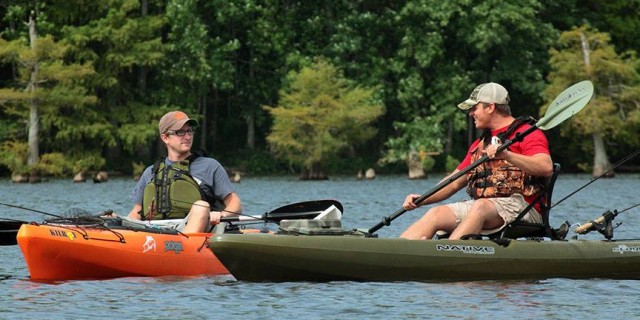
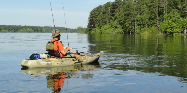
While kayak fishing may be viewed as a solo sport, it is oftentimes best enjoyed with a friend or two, and in the context of friendly competition. Kayak fishing is a relatively new sport. And if you are new to it, we are glad you found us! Let us know how we can support and encourage.
Strawberry River
US 167 to AR 58
The Strawberry River starts west of Salem, Arkansas, passes through fertile farmland, and ends up in the Black River. Local residents and river lovers constantly fight battles to prevent dams from being built on their rivers. So far they have succeeded and Strawberry River flows free. It is a remote part of the world and offers beautiful views and serenity.
The typical milky green tint Ozark water calmly floats through the foothills of the mountains, passes collections of oak, elm, and pecan trees on the banks, and occasionally encounters a farm or two. The stream is not rapid, so paddlers can really relax and take in all that nature has to offer.
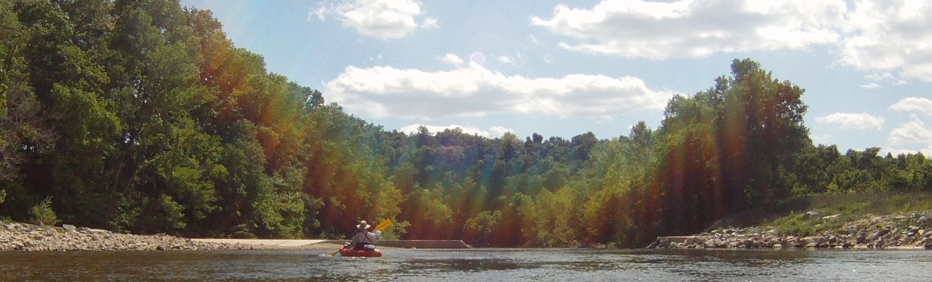
Buffalo River
Buffalo National River from Boxley to Buffalo City
The river has very humble beginnings in the Boston Mountains, AR. 140 miles later in merges with the White River. The Buffalo River is the only National River in the country and is protected by law from any dam building or altering it in any way. This is one of the most popular streams for canoeing in the U.S, so it is always busy. The upperparts are pretty rapid and entertaining for experienced paddlers. The middle and lower sections are quiet and peaceful for families to enjoy.
The river is fascinating to float through because of its unusual and impressive bluffs and lush forests. The water is milky green just like so many other Ozark rivers. The bluffs and the dense trees offer boaters a feeling of remoteness and privacy so craved by many city dwellers.
Spring River
South Fork of the Spring River Saddle to Hardy
The river begins in Missouri and eventually runs to Spring River in Arkansas, near Hardy. The upper part of the river is very secluded and offers very few signs of civilization.
As they go down, paddlers encounter some pastures, a few farms, but mostly forest. Cherokee Village is the biggest sign of human life while on the river. The river is mainly relaxing, only a few more challenging spots. It is very curvy and has rocky shoals. The water is great for swimming, steady, and ends up in multiple pools before merging into the Spring River.